
02/11/2025
Nave Analytics Helps Farmers With Irrigation and Planting Decision-Making

Sr. Content Marketing Manager
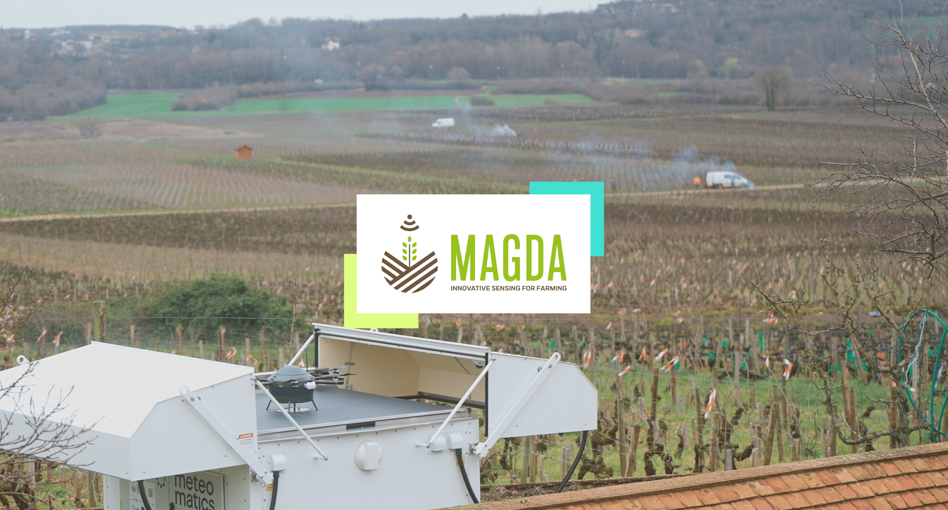
A longtime user of the Meteomatics Weather API, Nave Analytics partnered with VITech to develop an app that optimizes planting decisions. Their project received a NASA Space Apps Challenge award and will be integrated as a new service at Nave Analytics later this year.
Optimizing Irrigation with the Meteomatics Weather API
Nave Analytics is a Nebraska-based startup that helps farmers optimize their irrigation systems.
Their NaveGrow solution deploys virtual soil moisture probes every 100 meters across a farm’s fields. By combining Meteomatics’ weather data with NASA satellite imagery, the system provides near real-time insights into root zone soil moisture levels for clients across the United States and South America.
“Precipitation is the hardest weather variable to forecast. More often than not, weather data providers get it wrong, which used to disrupt our soil moisture predictions and lead to many client complaints. When we switched to Meteomatics, the forecasts became incredibly accurate, saving me two-thirds of my time because I no longer had to deal with client issues,” says Val Kovalsky, CTO at Nave Analytics.
Highlights
- Nave Analytics enhances irrigation and planting strategies with Meteomatics’ highly accurate weather data.
- Meteomatics’ superior forecasts save ⅔ of Nave Analytics' time previously spent handling client complaints.
- The new NavePlant service helps farmers in high-precipitation regions ensure better crop yields.

Co-Founder & CTO
Nave Analytics
When we switched to Meteomatics, precipitation forecasts became incredibly accurate, saving me two-thirds of my time because I no longer had to deal with client issues.
Expanding into Non-Irrigated Fields with a Planting Optimization App
Nave Analytics’s initial focus on irrigation systems left out a significant segment — those in regions with abundant rainfall who face a different challenge: waterlogged fields.
Excess soil moisture can disrupt planting by bogging down equipment, causing costly delays and yield loss. Heavy machinery on wet fields leads to soil compaction, hindering root growth and water circulation. Waterlogged soil also limits oxygen, resulting in poor germination and uneven crop stands.
“Every spring, farmers in these regions face a Shakespearean dilemma: ‘to plant or not to plant.’ We want to help them make the best decision”, says Jessica Korinek, CEO at Nave Analytics.
A Personal Challenge Sparks Innovation
Jessica witnessed the issue of excessive soil moisture firsthand on her father’s farm in Minnesota. Determined to find a solution for her family’s farm while expanding Nave Analytics’ services beyond irrigated regions, she and her team set out to develop a tool to help farmers facing similar challenges.
To achieve this, Nave Analytics leveraged its expertise in soil moisture analysis. Their approach combines remote sensing observations with modeled estimates of root zone soil moisture, integrating Meteomatics’ highly accurate weather data. These forecasts are processed through Nave’s Spear Schema for soil hydrology tracking, ensuring reliable field condition predictions.
With a clear objective in mind, the team focused on answering two crucial questions farmers always ask:
- "Will my tractor get bogged down in the field?"
- "Is there enough moisture for crop germination?"
The result was a prototype capable of delivering these answers, helping farmers make informed planting decisions and mitigate risks associated with excess soil moisture.


NASA Space Apps Challenge Brings the Prototype to Life
To refine their prototype and transform it into a user-friendly application, Nave Analytics partnered with VITech, a Ukrainian company specialized in cloud architecture, to participate in the NASA Space Apps Challenge — a competition that, coincidentally, Meteomatics has been sponsoring for many years.
The hackathon presented the perfect opportunity, as it included a challenge focused on designing a tool that enables farmers to explore, analyze, and use NASA datasets to address water-related concerns and improve agricultural practices.
The outcome was NavePlant — a new service providing detailed soil moisture insights in both space and time. NavePlant offers:
- Daily assessments of moisture-related risks for every 100-meter section of a field
- Projections up to two weeks in advance
- Aggregated summaries to support confident, field-level decision-making
This innovative data service can replace on-site field assessments, reducing the need for farmers to travel to their fields just to evaluate moisture conditions. With cost efficiency in mind, Nave Analytics aims to keep the pricing below that of a typical agronomist visit, which includes travel and a half-hour field assessment.
With NavePlant, farmers now have a powerful tool to avoid planting delays, prevent equipment mishaps, and optimize crop growth — all without stepping foot in the field.
Agriculture As a Core Industry for Meteomatics
At Meteomatics, we recognize agriculture as one of the industries where precise weather intelligence has the most immediate and tangible impact.
The success of Nave Analytics highlights how accurate meteorological data can directly improve farming efficiency and resilience.
As the NavePlant service launches later this year, we look forward to seeing how our weather intelligence continues to drive innovation in agriculture, empowering farmers with the data they need to make confident, informed decisions.
Talk to an Expert for a Weather Solution Tailored to Your Needs

Expert Call
Let’s Find the Perfect Solution to Your Problem. Talk to an Expert.
Related Articles


We provide the most accurate weather data for any location, at any time, to improve your business.


