09/03/2024
Meteomatics Secures EASA DVR Certification for the Meteodrone Emergency Rescue System

Sr. Content Marketing Manager
Meteomatics receives EASA's Design Verification Report certification, affirming the safety and technical excellence of our Meteodrones and allowing greater flexibility in operating in populated areas or in complex airspace environments.
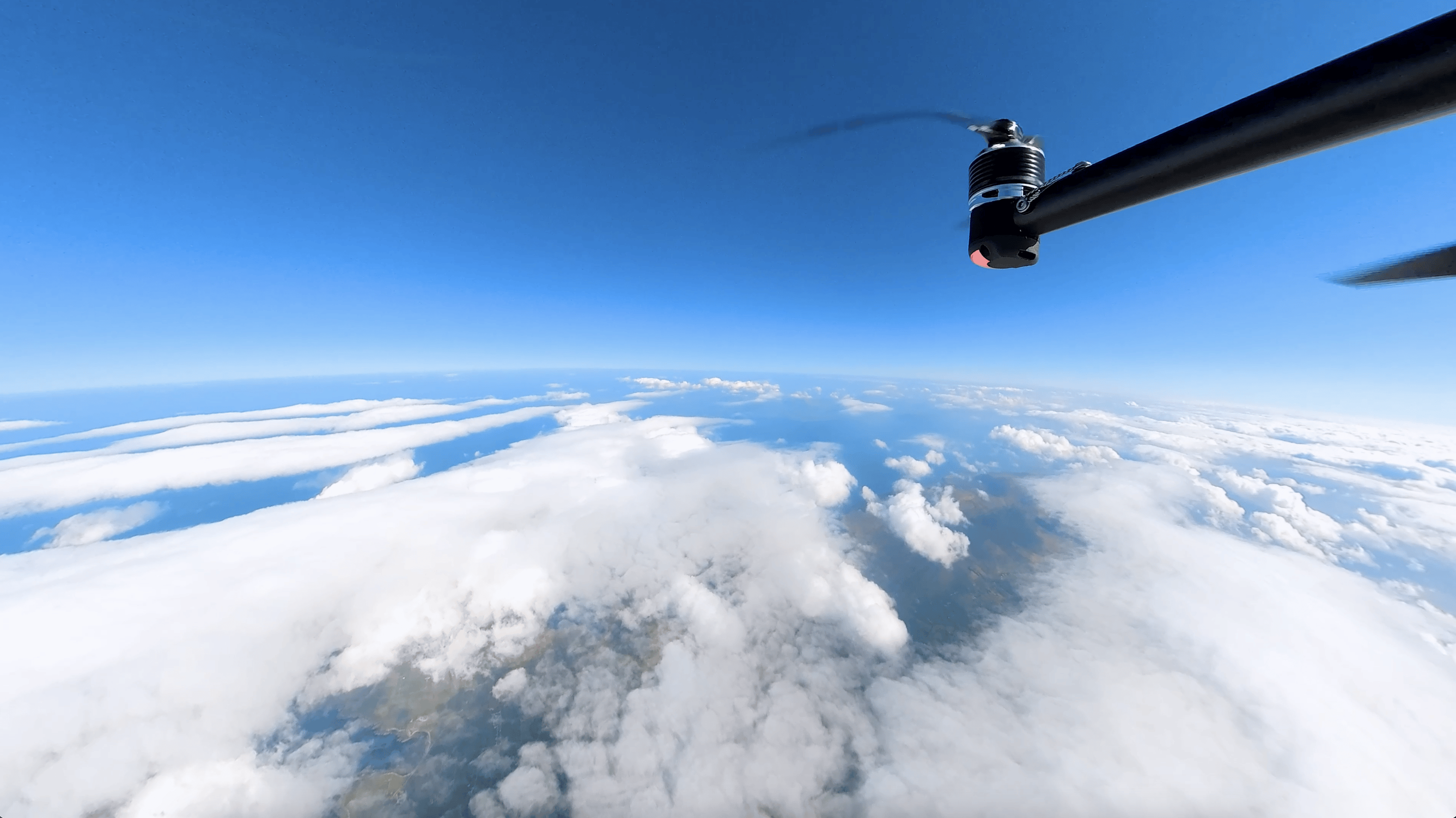
Meteodrones are innovative, sustainable, and cost-effective tools designed to measure vertical profiles within the boundary layer of the atmosphere. They can fly up to 6 km, endure wind speeds of up to 90 km/h, and operate in temperatures as low as -45°C. These capacities enable them to gather extensive weather observations multiple times a day, significantly improving weather forecasts.
However, operating drones at such high altitudes poses considerable challenges. Drone operators must navigate strict regulations and secure necessary licenses to ensure the safety of both people on the ground and other aircraft in the air.
We have been successfully operating our Meteodrones for nearly a decade. We were the first company to receive commercial flight authorization from the Swiss Federal Office of Civil Aviation (FOCA), including Beyond Visual Line of Sight (BVLOS) operations, allowing us to fly in Switzerland and the Principality of Liechtenstein.
Since FOCA's authorization is based on the European Union Aviation Safety Agency (EASA) regulations—the highest authority on airspace safety in Europe—Meteomatics is well-positioned to secure approvals for Meteodrone operations across all EASA member states.
The authorization process is intricate and demanding, as regulators must meticulously check risk assessments and evaluate the proposed mitigations for the intended operation. This complex and time-consuming process can be discouraging for many, but not for us. We see Meteodrones as the future of weather data collection in the lower and middle layers of the atmosphere—the “future of radiosondes”, as we often call them. The valuable data Meteodrones provide enhances weather forecasts, offering substantial benefits to society. Our vision is to establish networks of Meteobases to improve weather observations worldwide. To achieve this, we collaborate closely with regulatory authorities to ensure our operations are not only safe but also efficient, allowing us to continually expand our reach.
In August 2024, with support from v2sky, we reached a significant milestone: we received the Design Verification Report (DVR) certification from EASA. It's an official certification issued by EASA that validates the airworthiness and safety compliance of unmanned aircraft systems (UAS), such as our Meteodrones.
What Does the DVR Certification Mean for Meteomatics?
This certification confirms that the design of a drone meets all applicable safety and technical standards required for operation within European airspace, especially in scenarios that involve flying over populated areas or in complex airspace environments (such as airport areas).
Receiving the DVR certification offers several key benefits:
- Operational Flexibility: The DVR certification allows us greater flexibility in deploying Meteodrones in populated areas or in complex airspace environments. It streamlines the process of obtaining operational approvals, making it easier to expand our services into new regions.
- Credibility and Trust: This certification strengthens the trust that regulatory bodies, clients, and partners have in our technology, affirming that Meteodrones meet high safety and design standards.
- Global Expansion: Although the certification is European, it also helps facilitate our global expansion. EASA's rigorous standards are respected worldwide, and this certification can serve as a strong reference when seeking approvals in other regions.
For Meteomatics, the DVR certification not only acknowledges the technical excellence and safety of our Meteodrones but also enables us to operate more broadly and effectively across various regions and applications. It is a critical step in our mission to provide high-quality, reliable weather data that supports a wide range of industries and societal needs.


Expert Call
Let’s Find the Perfect Solution to Your Problem. Talk to an Expert.
Related Articles


We provide the most accurate weather data for any location, at any time, to improve your business.