We Work With Groundbreaking Companies
Together with water utilities, we leverage weather insights to optimize water resource management, enhance infrastructure resilience, and improve demand forecasting.


Strategic Planner, Water Resources
Scottish Water
The Meteomatics Weather API stood out as the most comprehensive, flexible and user-friendly API service available. Its flexibility allows us to integrate it into various systems easily.

Data Scientist
Anglian Water
Now that we have all the information we need in one place, it has significantly improved the time taken to investigate the potential breaches.

Python Developer
Purecontrol
Meteomatics' data allows our system to precisely pinpoint when and where the water network may become overwhelmed and how to manage the flow accordingly. With this system, we can expect a reduction in untreated water discharges into the environment of up to 70%
Strategic Planner, Water Resources
Scottish Water
The Meteomatics Weather API stood out as the most comprehensive, flexible and user-friendly API service available. Its flexibility allows us to integrate it into various systems easily.
Data Scientist
Anglian Water
Now that we have all the information we need in one place, it has significantly improved the time taken to investigate the potential breaches.
Our Weather Solutions Driving Positive Impact for Our Customers in the Water Sector

Meteomatics Solutions for the Water Industry

Weather Solutions Based on the Most Accurate Weather Data in the Market

Weather API
Get weather forecasts for any location in the world downscaled to 90 meters. Over 1800 weather parameters from over 110 observation sources and models.

1k Models
Through the Weather API, you get access to Meteomatics' exclusive high-resolution weather models capable of predicting even the most localized weather events, such as thunderstorms, hail, fog, and more.

MetX - Weather Maps
Visualize weather events in real time and high resolution on MetX, Meteomatics' web-based weather map tool that provides the precision and clarity you need to make informed decisions

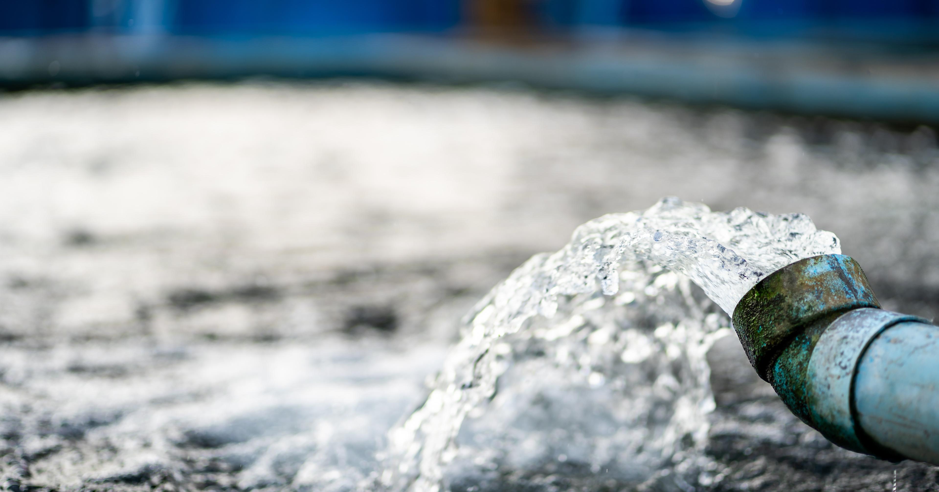
Weather Data for the Water Industry
Flexibly query data for specific hydrological catchments or operational areas.
Gridded data queries
Integrate with internal or external software e.g. hydraulic / hydrological modeling software.
Support data science initiatives and automated weather-responsive process adjustments.
Radar / calibrated radar — historical, real-time and forecast
Integrate with internal or external software e.g. hydraulic / hydrological modeling.
Support data science initiatives and automated weather-responsive process adjustments.
Plan for flood control and storm overflows.
Report to regulators.
Soil temperature and moisture at various levels
Understand soil conditions which can influence hydrological response to rainfall and also risks of leakage spikes during freeze-thaw conditions.
Compatibility with GIS software such as ArcGIS.
Enhance situational awareness and contextualize status of assets against weather.
Monitor and predict drought conditions.
Assist in decisions related to water allocation and conservation.
Monitor river flows, reservoir filling and water availability during warmer months.
Temperature, solar radiation, humidity
Predict water demand.
Understand how climate trends may impact water resources to help determine long-term water management strategies and investment decisions.
Fast and Flexible Access to Weather Data
The Meteomatics Weather API delivers actionable insights not only for meteorologists, but also for hydrologists and data scientists in the energy and water management sector.
From hydropower operations to runoff modeling and extreme weather planning, it enables smarter, data-driven decisions.
- One source, one interface: query multiple parameters simultaneously for single or multiple sites and entire areas
- Query data in real time with a response time of a few milliseconds
- Real-time access to several data petabytes thanks to unique data processing technology (Meteocache)
- "On the fly" downscaling using topographic maps enables 90 meter resolution worldwide, greatly improving accuracy at the local level
- High-resolution data available every minute
- Highest data quality: over 1640 updates per day ensure accuracy and timelines

EURO1k and US1k
EURO1k and US1k are high-resolution numerical weather models from Meteomatics, offering 1 km precision across Europe and the United States — ideal for water utilities and environmental applications.
These models set a new benchmark in weather modeling, delivering the accuracy needed to support flood forecasting, stormwater management, and hydrological modeling by capturing even the most localized meteorological phenomena — such as intense rainfall, hail, and severe storms — in real time.
What Makes 1k Models So Special?
- Native spatial resolution of 1 km (further downscaled to 90m)
- Native temporal resolution of 15 minutes
- Forecast lead time of 72 hours for EURO1k and 48h for US1k
- Geographical coverage of Europe and the contiguous U.S.
- Hourly updates, integrating all available measurement and observation data
- Exclusive integration of weather data captured by Meteodrones
- Over 1800 weather parameters
- Real-time data and historical data
- Boundary condition: ECMWF-IFS
- Running on ca. 60,000 CPUs across 300 HPC compute nodes

Talk to an Expert to Improve Your Water Utility Operations

Expert Call
Let’s Find the Perfect Solution to Your Problem. Talk to an Expert.